Engineering & Technology Capabilities
Photogrammetry
The use of Photogrammetry using 360⁰ camera technology allows us to capture, upload and share the progress of our works on-site and record as built information digitally. This in turn Improve workflow, collaboration, and transparency with a digital replica of our installations at site.
This technology allows us to share real time, 360° documentation of the existing construction site conditions with main contractors and stakeholders.
Using photogrammetry allows us to confidently hand over as-built documentation of our projects. It allows us to download an offline copy of your virtual 360° site for main contractors and stakeholders.
The technology has the potential to reduce our paperwork massively if we convince stalkholders to replace traditional work inspection processes (which is predominantly time, resource and paper consuming) with a digitised process of recording installations once completed.
The Process
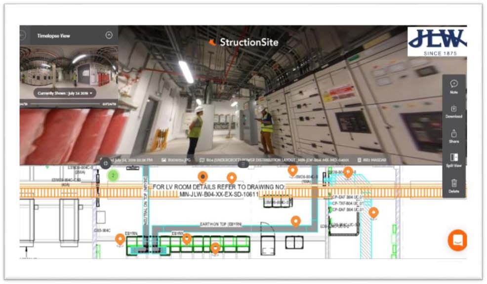
As part of JLW BIM process methodology for documenting site construction progress, QA/QC snag and inspection photos including as-built Structionsite Platform with 360 camera is used for accurate and reliable documentation of the changes on site construction against the drawings produced from our BIM models
This process is proven to be more efficient for MEP works and can be 90-95% more cost effective when compared to any laser scanning device.
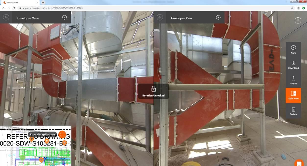
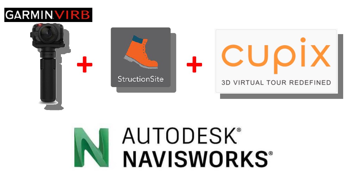
For the hardware JLW uses GARMINVIRB to take 360 photos as well as videos and the platform StructionSite for RealityCapture and collaboration process alongside with Navisworks, plus Cupix whenever necessary to produced point clouds for accurate measurement check and dimensioning.
Using Photogrammetry record camera positioning and 360⁰ visualisation (Masdar Neighbourhood 2).
Using Photogrammetry to update our as built Revit Models (Masdar Neighbourhood 2).